

GeoLens
A self-hosted geospatial data catalog that brings files, database tables and remote service snapshots into one searchable index, with a browser-based map builder and OGC and STAC APIs for existing GIS tools.
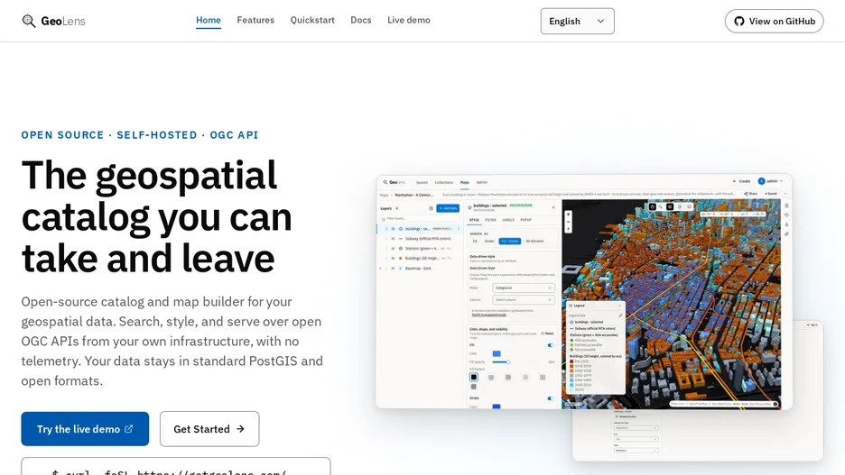
GeoLens turns scattered GIS files, database tables, service snapshots and remote assets into one spatial catalog with visible provenance for each dataset. Users can search metadata, preview data, and build multi-layer maps in the browser to publish as links or embeds, while still connecting existing tools such as QGIS and ArcGIS through OGC and STAC APIs and direct tile URLs.
It is built with FastAPI, PostGIS, React and MapLibre, installs with a script that writes configuration, generates secrets and runs Docker Compose, and publishes images for linux/amd64 and linux/arm64. Uploaded files and database tables can be registered without copying; WFS, ArcGIS FeatureServer and OGC API Features imports create one-shot copies, while remote STAC assets stay as live references indexed with fuzzy-search metadata. It sends no telemetry beyond default basemap tiles, and outbound calls to an AI provider, OAuth, SMTP or remote storage happen only for features a user opts into.